You are deciding which sentences in a relocation guide you can act on as written, and which ones you have to trace to the official record at the exact address before they belong in your decision. Every guide and every portal page mixes both kinds, and none of them tells you which is which.
A guide that says “the area has fiber internet, good schools, and low crime” has made three claims, and each one comes from a different source and fails in a different way. Accept all three because they arrived in one paragraph and the guide’s errors are now yours. Checking all three costs you an afternoon. The method below tells you where that afternoon goes.
Which rung is this sentence standing on?
Every fact about a place sits on one of five rungs. The rung tells you what you are allowed to do with the sentence.
Official record. A government, district, county, regulator, or utility published it. The flood map, the assessor’s parcel page, the district’s boundary lookup, the police department’s own data. This is the floor. Everything else is a summary of it or a guess at it.
Provider-reported. A business reported it about itself. Internet providers report their own coverage to the FCC, and an insurer states its own premium. The provider has an incentive, and the report can be stale, but it is still the provider’s own word and you can hold the provider to it.
Estimate. A model or a calculation produced it. Walkability scores, portal home-value figures, “typical commute” numbers, most demographic percentages. An estimate can be useful and it can be wrong by a wide margin for one house, because it was built for an area.
Local observation. A person who lives there told you. The neighbor who says the street floods in a hard rain, the parent who says the bus comes at 6:50. Firsthand, specific, and the width of one person’s Tuesday.
Personal verification. You checked it yourself at the address. You drove the commute at 7:40 and called the provider with the street number. You stood in the yard at nine on a Friday. This is the only rung that answers your own question about your own life.
Now take any sentence in a guide and ask which rung it stands on. “Highly rated schools” is an estimate built on someone else’s rubric. “The neighborhood is served by fiber” is provider-reported at most, and usually a summary of provider-reported data for an area, which puts it below that. “Residents love the quiet streets” is a local observation from nobody in particular. None of those is an official record, and none is your own verification, so none of them is finished.
Running this test slows you down and makes most guides look thinner than they did. A guide standing on a low rung only becomes a problem when you treat the rung as a higher one, and the slowdown is how you stop doing that.
Is the claim about an area or about the address?
Flood status, internet availability, school assignment, property tax, and zoning are all facts about a parcel, and a guide that describes them for a neighborhood is averaging across houses you are not buying.
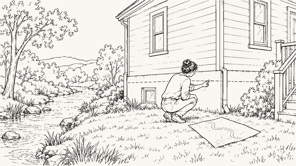
The FEMA Flood Map Service Center at https://msc.fema.gov/portal/home shows the flood zone for an exact address. Official record. A house on the same street can sit in a different zone than its neighbor three doors down, and the map is revised over time, so a guide that describes the area’s flood risk in one sentence has skipped the address. The map answers whether a lender requires flood insurance. An insurer’s quote for that address answers what the water costs you, and the quote is provider-reported. Get both, because they are different questions. The downside is two lookups and a phone call for every house you are serious about, and an insurer’s quote can differ from another insurer’s for the same parcel.
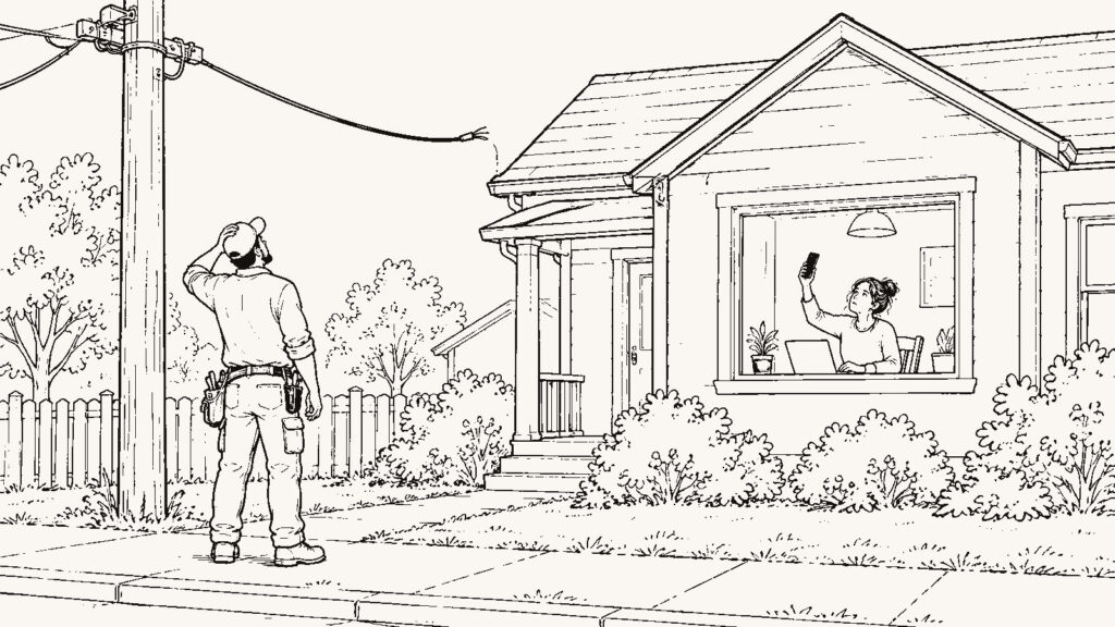
The FCC National Broadband Map at https://broadbandmap.fcc.gov/ shows, for an exact address, which providers report service, what technology, and what speeds they advertise. Provider-reported. The FCC runs a challenge process because reported coverage is sometimes wrong for a specific house, which is the agency’s own way of telling you the map is a starting point. Call each listed provider with the street address and ask what tier is physically available to that house. If you work from home, ask about upload speed too. The cost is hold time, and sometimes two agents from the same provider give two answers, so write down who said what and when.
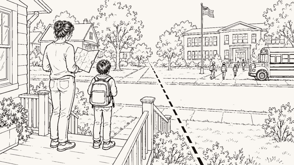
School assignment comes from the district’s attendance-boundary lookup, run against the exact address. Official record. It is district-specific, so there is no single national link; search the district’s site for “school locator” or “attendance zones.” Once you know which school it is, the National Center for Education Statistics school search at https://nces.ed.gov/ccd/schoolsearch/ and the state department of education’s report card give you the official data on it. A rating site tells you how a school scored on someone’s formula. It cannot tell you whether this address feeds into that school, and boundaries move. The downside of checking is that district sites are often slow and the boundary tool may be a PDF map you have to read by hand.
Property tax comes from the county assessor or property appraiser and the county tax collector, looked up by parcel. Official record. The tax figure on a listing is often last year’s bill under the current owner’s exemptions, and the assessment can change when the property sells. Look up the parcel yourself. Write down the assessed value, the current bill, and every exemption listed, then ask the assessor’s office what happens to the assessment at sale. Every county’s site is different and some are hard to read. The office may not give you a projected figure over the phone.
Zoning comes from the municipal or county planning department and its zoning map. Official record. What the lot next door is zoned for is checkable. “Quiet street” is a feeling, and it lasts until the parcel across the road is developed as whatever it is already zoned for. Look up the zoning for the parcel you are buying, for the parcels on each side, and for the one across the street. Then ask the planning department whether any applications are pending nearby. The downside is that zoning maps use codes you will have to decode. Pending applications may be listed only in meeting agendas.
What boundary, what period, what population?
Any number in a guide that you intend to act on has to answer three questions. What boundary does it cover? What period does it cover? What is it divided by, if anything?
Crime figures are where this matters most, and where guides are loosest. A count of incidents for a city over a year says nothing about a street over a month, and a count is not a rate until it is divided by the population of the boundary it covers. Go to the police department’s or sheriff’s own published data, and to the FBI Crime Data Explorer at https://cde.ucr.cjis.gov/ for agency-level reporting. Official record. Then read what the number measures before you read what it says: the boundary, the period, whether it is a count or a rate, and whether the agency reported to the FBI in every year you are comparing. Agency data is often awkward to use and may not go down to the boundary you care about. When it does not, you do not have a rate for that boundary, and the substitute is standing on the street at the hours you would be there.
A “safety score” with no boundary, period, or denominator is a number you cannot check. We publish the method instead of the score. An agent who will not tell you whether an area is “safe” may be following the Fair Housing Act, which governs how anyone, including an agent, talks to you about neighborhoods. HUD’s fair housing office at https://www.hud.gov/program_offices/fair_housing_equal_opp is the official source on what that means, and the department data above is where the question goes instead.
Population and demographic figures come from the U.S. Census Bureau at https://data.census.gov/. The decennial count is an official record. Most of the figures you will see quoted, including median income and commute time, come from the American Community Survey, which is a sample with a published margin of error, so label those as estimates and look at the margin before you compare two places. That is slower than reading one number, and sometimes the margin tells you the two places cannot be told apart at all.
Who wants me to believe this?
A relocation page built to sell a market, a listing description, a portal score, and a builder’s community brochure are all written by someone with a stake in your answer. The stake does not make a claim false. It leaves every claim unverified until you trace it, and it tells you which claims to trace first: the ones that would be inconvenient for the writer if they were wrong.
Read for what is absent. A guide that lists the commute to downtown and skips the commute to the hospital and the grocery store has chosen the trip that looks good. A listing that says “close to everything” has named nothing. The five-places test fixes this. Write down the five places you will go most from this address, find the actual address of each, and check each trip at the hour you would make it. The guide’s version of “close” and yours will differ, and yours is the one you drive. The downside of reading every guide as an argument is time. Some marketing copy contains true facts you will now spend part of the afternoon re-checking. Spend that time on the address-level facts, and skip it on the coffee shop.
How old is it?
Maps get revised. Providers extend or abandon service, districts redraw boundaries, and assessments reset at sale. A guide written in one year is quoted in the next, and by the third year it is describing a place that no longer exists in some particulars.
For any fact you intend to act on, find the page it came from and look for the date on the page, the map effective date, or the data year. If there is no date, the fact has no age, and a fact with no age is an estimate however it is labeled. The cost is that this doubles the time per check. It also catches the most expensive category of error, which is a true fact about a place that has since changed.
What does it cost me if this is wrong?
Nobody traces every sentence in a guide before an offer, and you do not need to. Sort the claims by what each one costs you if it is wrong, and spend the afternoon where the cost is highest.
Wrong about a restaurant is a bad evening. Wrong about the internet tier is a remote job that does not work from that house, and wrong about the flood zone is an insurance bill you did not budget on a house that may be harder to sell. Wrong about the assigned school is a different school for your child. Wrong about the assessment at sale is a tax bill that is not the one on the listing, and wrong about the zoning next door is a view that becomes a parking lot.
The tradeoff runs both ways. A buyer who verifies every address-level fact looks at fewer houses, moves more slowly, and sometimes loses a house to someone who did not check. A buyer who trusts the guide moves faster, and sometimes learns the flood zone or the assigned school after closing. Choose which risk you are carrying, and carry it on purpose.
Apply the same labels to us
Every fact about a place in this article carries one of the five labels, and we send you to the source instead of asking you to take our word. Hold every other guide to the same standard. It costs you the comfort of a page that says the area is fine, and it leaves you with a shorter list of facts you can act on today. If a page cannot tell you which rung a sentence stands on, finding out is your job. Two articles run this method in detail for their own subjects: Neighborhood Safety Research Without Guesswork and How to Research Flood Risk Before Buying. The full remote-research process, which separates these sources from the start, is in How to Research a Neighborhood From Hundreds of Miles Away.
What must I verify personally
At the exact address, before you make an offer:
Run the address through the FEMA Flood Map Service Center and write down the zone and the map’s effective date. Then call an insurer with the address and ask for a flood quote.
Run the address through the FCC National Broadband Map. Call every provider listed, with the street address, and ask what tier is physically available to that house, download speed and upload speed. Write down the date, the agent’s name, and the answer.
Look up the parcel on the county assessor’s site. Write down the assessed value, the current bill, and the exemptions shown. Ask the office what happens to the assessment at sale.
Run the address through the district’s attendance-boundary tool. Write down the assigned school for each grade level in your household, then look that school up on the state report card and the NCES search.
Find the police department’s own published data. Write down the boundary it covers, the period, and whether it is a count or a rate. Then go stand on the street at the hours you would be there.
Look up the zoning for the parcel and for the parcels on each side and across the street. Ask the planning department about pending applications within a few blocks.
For any other number you intend to act on, find the page it came from and check the date.
What should I ask a local
“Where did you look this up when you bought?” A neighbor who verified will name the office. Local observation, and worth more when the neighbor bought recently.
“What does this street do in a hard rain?” The flood map is an official record; the neighbor’s answer is a local observation, and the two do not always agree.
“Which provider serves your house, and what speed do you get at eight at night?”
“Has the school boundary moved since you moved in?”
“What is going in on the empty lot?” Then check the answer with the planning department.
What should I ask my agent
“Which of these facts did you check at the source, and which came from the listing?” An agent who checks at the source can tell you which is which, and will name the office. Total sales volume tells you the agent is busy. This answer tells you something the volume cannot.
“Will you send me the assessor’s parcel page and the FEMA map for this property, rather than a summary?” The pages are the record. The summary is the agent’s reading of it, and you are the one who has to live with the difference. The record takes longer to read than the summary does, and that is the whole cost.