You are not trying to find out whether this house is “in a flood zone.” You are trying to find out whether water can reach it, what water has already cost the people who lived there, and what protecting against it will cost you every month for as long as you own it.
Those are three different questions with three different sources. Most buyers ask the first one, get a zone letter from the listing, and stop. The zone letter answers who will make you buy insurance. It does not answer whether the water comes, and it does not answer what the policy costs at this address. What follows takes each question to an exact street address and ends with what you check yourself before you write an offer. This is education, not insurance, legal, or lending advice; the people who give that advice are named below.
What does the flood map tell me?
The Federal Emergency Management Agency publishes Flood Insurance Rate Maps for communities that participate in the National Flood Insurance Program. Look them up by address at the FEMA Flood Map Service Center (https://msc.fema.gov/portal/home). That is an official record. Enter the street address, not the neighborhood, and read three things: the zone letter, whether the structure sits inside a Special Flood Hazard Area, and whether a preliminary or pending map exists for that community.
The zone letters mean specific things, and FEMA defines them at https://www.fema.gov/glossary/flood-zones (official record). Zones beginning with A or V are Special Flood Hazard Areas, which FEMA defines as areas with a one percent or greater chance of flooding in any given year. V zones add wave action along a coast. Zones marked X are outside the high-risk area. The one percent figure is a modeled probability, so label it an estimate when you write it down, and it is not a promise that the house floods once a century. FEMA states that a property in a high-risk zone has at least a one in four chance of flooding over the life of a 30-year mortgage. That is the same estimate turned into the years you would own the house.
The map decides one thing. If the structure is inside a Special Flood Hazard Area and your loan is federally backed or comes from a federally regulated lender, the lender requires flood insurance as a condition of the loan (official record, FEMA and FloodSmart, https://www.floodsmart.gov/). That requirement lasts as long as the loan does, and it is the thing the zone letter changes about your monthly number.
The map does not decide whether the water comes. A house in Zone X can flood. FEMA reports that a share of NFIP claims each year comes from properties outside high-risk zones (official record, FloodSmart). Nobody makes those owners buy a policy, so nobody checks. A house inside Zone AE can sit on a rise above the water surface the map models, with a premium to match. The map draws a boundary around the house. Where the house sits relative to the water inside that boundary is a question for the survey and the quote.
Check for preliminary maps before you trust the effective one. FEMA revises maps, and the Map Service Center shows preliminary and pending revisions for a community alongside the effective map. A house that is outside the zone today and inside it on the preliminary map is a house whose lender requirement can change after you close. The cost of this check is ten minutes. The cost of skipping it is a letter from your servicer a year from now.
What does the insurance quote tell me that the map cannot?
The map tells you whether you must buy a policy. The quote tells you what the policy costs, and since FEMA changed how it prices NFIP policies, those two things have come apart.
Under the NFIP’s current pricing method, which FEMA calls Risk Rating 2.0, the premium for a property reflects property-specific factors: distance to water, the types of flooding that can reach it, the elevation of the structure, the foundation type, and the cost to rebuild (official record, https://www.fema.gov/flood-insurance/risk-rating). Two houses on the same street with the same zone letter can carry different premiums because one has a crawlspace and the other has a finished basement, or because one sits higher than the other. The house sets the price now, and the zone letter only tells you whether you must buy one.
So get a quote before you decide, and get it for the exact address with the coverage you would carry. An agent who writes NFIP policies, or a private flood insurer, can quote it (provider-reported). If an insurer will quote only once you are under contract, write the offer contingent on a quote you can live with. Ask three things: whether the quote is NFIP or private, what elevation and foundation assumptions it rests on, and whether an elevation certificate would change it. An elevation certificate is a surveyed record of how high the structure sits relative to the modeled flood level; FEMA no longer requires one to rate a policy, but one can lower the premium when the house sits higher than the default assumption (official record, FEMA Risk Rating 2.0 pages). Ask the seller whether one exists. Ordering a new one costs you a surveyor’s fee and a few weeks, and it can come back showing the house sits lower than anyone hoped. You want that fact before closing.
Then ask about the rate over time. Under Risk Rating 2.0, policies that were priced below their full risk-based rate move toward that rate over years, subject to annual increase caps set by federal law (official record, same source). A seller’s current premium tells you what the seller pays now. It does not tell you what you pay in year five. Ask the insurer what the full-risk premium for this property is, and put that number in your monthly calculation, not the seller’s number. The downside of budgeting for the full rate is that you may pass on a house you could have afforded for a few years. Budget for the seller’s rate instead and the payment rises on a schedule you did not set.
Ask one more thing: whether the seller can assign the existing NFIP policy to you at closing. NFIP policies can transfer with the property, and the insurer who holds the policy can tell you the terms (provider-reported). Assignment can preserve a rate path a new policy would not get. Coverage is in force the day you own the house. The cost is that you inherit the seller’s coverage limits and deductible, which may not match what you would have chosen, and you still need the quote above to know what the full-risk rate is.
Will my homeowner policy cover water?
No, as a rule. FloodSmart, the NFIP’s consumer site, states that standard homeowner insurance does not cover flooding (official record, https://www.floodsmart.gov/). Flooding, for insurance purposes, means water that comes from outside the house: rising rivers, storm surge, runoff, a creek that leaves its bank. Water that comes from inside, such as a burst pipe, is a different peril with different rules, and your homeowner policy and your insurance agent answer that one. So a house that is “fully insured” against fire and wind can be uninsured against flooding, and nobody tells you that unless you ask.
If the structure is in Zone X and the lender does not require a flood policy, you choose. Carrying one costs the premium every month, and in lower-risk zones that premium is often lower than inside the high-risk area, though only the quote for your address tells you (provider-reported). Skipping it saves the premium, and if water comes, you pay for the repair yourself. One timing rule shapes the choice. NFIP policies typically carry a 30-day waiting period before coverage starts, with exceptions that include a policy bought in connection with a loan closing (official record, FloodSmart). If you want coverage on a house outside the zone, the time to arrange it is before closing, when the waiting-period exception can apply, and not the first wet October.
Some communities earn discounts for their residents under FEMA’s Community Rating System, which rewards floodplain management above the minimum (official record, https://www.fema.gov/floodplain-management/community-rating-system). Ask the insurer whether the community participates and what class it holds. The discount lowers the premium and nothing else.
What has water already done to this house?
Neither the map nor the quote knows what happened in this basement the last time the creek came up. For that, you go to the property’s own record, and there are five places to look.
Start with the seller disclosure. Most states require one, and the form usually asks about flooding, water intrusion, drainage, and flood insurance claims. The form and the rules come from the state, usually through the real estate commission, and they differ from one state to the next (official record for the form; what the seller wrote is the seller’s statement, which is provider-reported in the sense that it comes from the party selling). Go straight to the water questions. Note what was answered “no,” what was answered “yes,” and what was left blank. A blank is a question, and you ask it in writing. The downside of relying on the disclosure alone is that a seller discloses what he knows and remembers, and a seller who bought the house after the last flood may know nothing.
Second, ask the seller for the property’s NFIP claims history. FEMA keeps records of claims paid under NFIP policies on a property, and it releases that history to the current owner on request (official record, FEMA and FloodSmart). The seller can request it and share it with you. If the seller declines, that is also information. This record covers only NFIP claims, so a flood the previous owner paid for out of pocket, or a claim under a private policy, does not appear in it.
Third, ask the seller for a CLUE report. The Comprehensive Loss Underwriting Exchange, run by LexisNexis, records insurance claims on a property over recent years, and the owner can request it (provider-reported). It shows claims on the homeowner policy, which can include water claims that the NFIP history would not, and it also shows nothing about an owner who never filed.
Fourth, ask the insurer who quotes you whether the property has prior flood loss on record. Under Risk Rating 2.0, prior claims are part of the picture the insurer sees (official record, FEMA). The insurer may not tell you the details, but the premium tells you something.
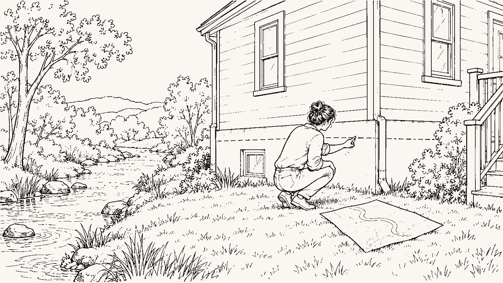
Fifth, look at the house. This is personal verification. Walk the lowest level with a flashlight. Look for a water line on the wall, a band of discoloration at a consistent height. Look for efflorescence, the white powder that dried water leaves on masonry. Look for a sump pump and ask when it was installed and how often it runs. Look for fresh paint on one basement wall and not the others. Outside, look at where the ground slopes near the foundation, where the downspouts drain, and whether the lot sits lower than the street or the neighbors. If you cannot be there, this is the list you hand to whoever walks the house for you; the article on what your local eyes need to check (https://beforethekey.com/blog/buying-from-out-of-state-what-your-local-eyes-need-to-check/) covers how to run that walk over video. The downside of an eyeball inspection is that a competent seller can paint over a water line. The downside of skipping it is that you find the water line yourself after the first storm.
Where does the water go on a normal Tuesday?
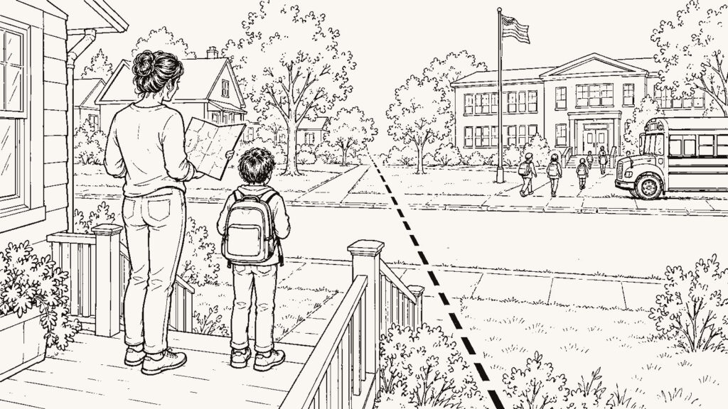
A house can stay dry while the road to it does not. Think about what a Tuesday looks like from this address when it has rained for two days: the 7:40 drive to work, the school pickup, the grocery run on the way home, the Saturday drive to the parent who needs help. If any of those crosses a creek at a low bridge, a dip in the road with a depth gauge painted on a post, or a stretch that the county closes when the water rises, then flood risk is part of your week whether or not it ever touches your foundation.
Three sources answer this. The United States Geological Survey operates stream gauges, and its water data site (https://waterdata.usgs.gov/) shows the record for the nearest gauge, including how high the water has gone and when (official record). Find the gauge nearest the house and the gauges on the streams your routes cross, and look at the highest readings over the years shown. The gauge tells you what the stream did. It does not tell you what happened on your street, because the gauge is on the stream and your street is not.
Every community in the NFIP designates a floodplain administrator, usually inside the city or county planning or building department. That person reviews building permits in the floodplain and knows which streets have a history. Call. Ask about the address and the streets around it. What you get is part official record, when he reads you the map or the permit file, and part local observation, when he tells you what he has seen. Separate the two when you write it down. The limit is that the office reviews permits and is not obliged to research your street for you, so a busy department may read you the map and nothing more.
Then ask the neighbor who has parked on this street through a few wet Octobers. He can tell you which intersection floods first, how many days a year the low road closes, and whether anyone on the block has had water in the house. That is local observation, and it is worth having because no map records it. Its limit is one person’s memory of the years he was there.
Finally, go when it rains. If you can, schedule a visit during or within a day of a heavy rain, and drive the routes you would drive on a Tuesday. Water over the road or a storm drain backing up at the corner is a thing you see once and remember, and no listing photographer shoots it. The downside is that heavy rain does not schedule itself around your scouting trip, and you may have to make the visit on someone else’s behalf, or ask your local eyes to make it for you.
Can I change the designation, and should I try?
If the map puts the structure inside a Special Flood Hazard Area but the structure itself sits on natural high ground above the modeled flood level, the owner can apply to FEMA for a Letter of Map Amendment, which FEMA explains at https://www.fema.gov/flood-maps/change-your-flood-zone (official record). A successful LOMA removes the structure from the high-risk designation and can remove the lender’s mandatory purchase requirement.
Before you count on that, price it. A LOMA application needs an elevation certificate or comparable survey data, which means you pay a surveyor. FEMA can deny the application if the structure does not sit as high as it looks. Even when it succeeds, it changes the paperwork and not the water; a house removed from the map by a LOMA is still a house near the water, and the quote for a policy you choose to carry still reflects the distance and the elevation. Some buyers make the purchase contingent on a LOMA and let the seller carry the risk of the survey. That is a negotiation, and your agent can tell you whether it is one sellers in this market accept.
How do I put the two columns side by side?
Take one sheet of paper. On the left, write what the map says: the zone letter, whether the structure is inside the Special Flood Hazard Area, whether a preliminary map changes that, and whether your lender will require a policy. On the right, write what the water has done and will cost: the full-risk quote for the address, the seller’s current premium and whether it can be assigned, what the disclosure says about water, what the NFIP claims history and the CLUE report show, what you saw in the basement and on the lot, what the gauge and the floodplain administrator and the neighbor told you, and which of your Tuesday routes cross water.
The left column tells you who will make you buy insurance. The right column tells you whether you want this house. The decision lives on the right, and it takes a week of phone calls to fill in. If the address sits on high ground far from any watercourse and every record comes back empty, the two columns collapse into one line and you spend that week on something else.
Then put the flood premium inside the monthly number you compare across houses. It makes the comparison longer, and it makes some houses look worse than their list price. The article on the real cost of a location (https://beforethekey.com/blog/the-real-cost-of-a-location-what-to-calculate-beyond-the-mortgage/) shows where that line goes. The article on why two same-priced houses can carry different monthly costs (https://beforethekey.com/blog/why-two-same-priced-houses-can-have-very-different-monthly-costs/) shows what happens when one of them sits by a creek. Two houses at the same list price, one in Zone X on a rise and one in Zone AE with a finished basement, carry different monthly numbers, and the right column is where you find out by how much.
You may work through all of this and still buy the house near the water. Some people do, on purpose, because the house is the house and the premium fits. The point of the two columns is that you make that choice with the full-risk quote and the claims history in front of you.
What must I verify personally
Before you write an offer on this address:
- Enter the exact street address at the FEMA Flood Map Service Center. Write down the zone letter, whether the structure is inside the Special Flood Hazard Area, and whether a preliminary or pending map exists for the community.
- Call at least one insurer who writes flood policies. Ask for a quote at this address for the coverage you would carry. Ask whether it is NFIP or private, what elevation and foundation it assumes, whether an elevation certificate would change it, and what the full-risk premium is, not just the first-year premium.
- Ask the seller, in writing, for the state disclosure form, any elevation certificate, whether an NFIP policy is in force and whether it can be assigned, any prior flood or water claims, and the NFIP claims history for the property.
- Read the water questions on the disclosure. Note every “yes” and every blank, and ask about each one in writing.
- Walk the lowest level of the house and the exterior yourself or through your local eyes: water lines, efflorescence, a sump pump, fresh paint on one wall, grading toward the foundation, where the downspouts drain, whether the lot sits below the street.
- Visit during or within a day of a heavy rain. Drive the routes you would drive on a Tuesday and note any water on the road.
- Find the nearest USGS gauge and the gauges on the streams your routes cross, and look at the highest readings in the record.
- Call the local floodplain administrator with the address and ask what the office knows about this street.
What should I ask a local:
- Which streets near here close when it rains hard, and how many times a year?
- Where does the water go when the storm drains cannot keep up?
- Has this street, or this house, had water in the years you have lived here?
- Do people on this street carry flood insurance, and has anyone had a claim paid?
What should I ask my agent:
- Have you sold a house in a mapped flood zone in this area, and what happened to the buyer’s monthly payment after closing?
- Will you get the seller’s disclosure, elevation certificate, and policy information before I write an offer, and not after?
- Will you attend the inspection and ask the inspector to look specifically for water evidence?
- Do sellers in this market accept an offer contingent on a flood quote or a LOMA?