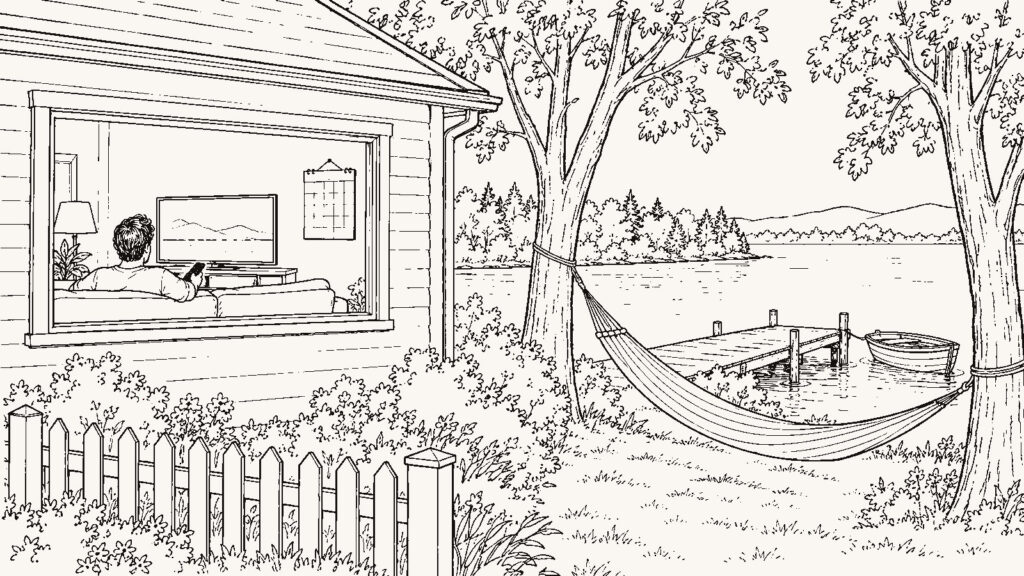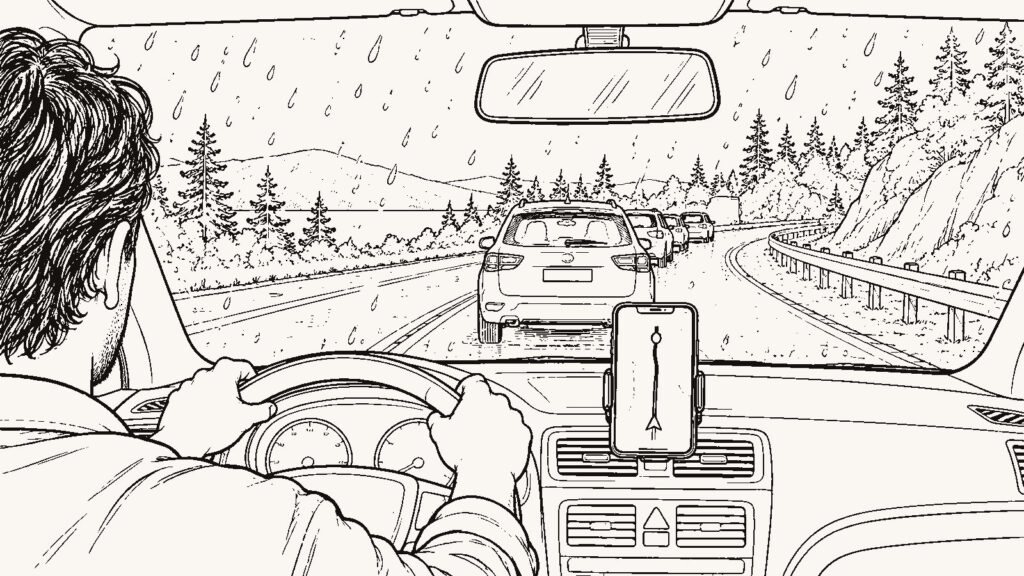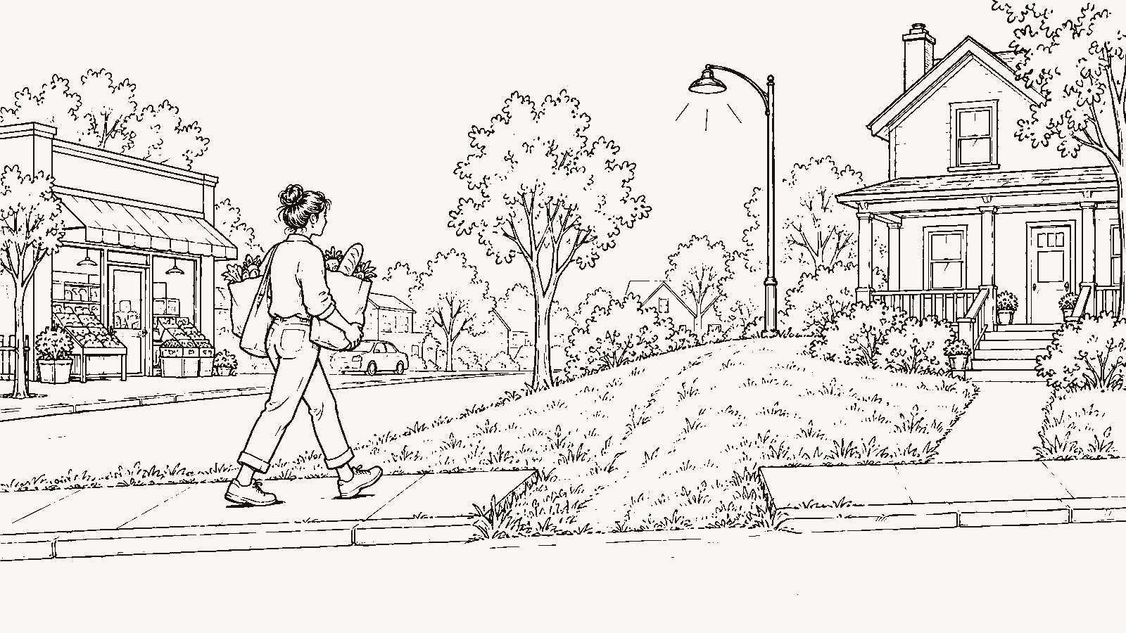
You are not deciding whether a neighborhood is walkable. You are deciding which of your own weekly errands you could do on foot from this address, at the hour you make them, carrying what you bring home, and what you give up in house, lot, price, or privacy to get that.
A walkability score answers a different question. It counts businesses within a radius of a point on a map and turns the count into a number. That number does not know that you buy groceries for five people once a week, that the pharmacy you use is a specific chain, or that the road between the house and the coffee shop has five lanes and no signal. The method below swaps the score for your own errands. It works the same for a downtown condo and a cul-de-sac.
What are you deciding?
A more walkable address can take some trips off the car and hand the second driver back part of the week. It can give you a week where the kid gets to practice without a ride and the evening errand is a ten-minute loop. It can also mean a smaller house, a smaller lot or none, a higher price for fewer square feet, shared walls or closer neighbors, on-street parking, and street noise that comes from the same density that makes the walk possible. The address that lets you walk to the grocery can also be the address where the grocery’s delivery truck idles under your window at 6 am.
A less walkable address buys space, quiet, a driveway, and a yard. It also locks every trip into the car, which adds driving hours to every week and, for a two-adult household, can mean a second car. Neither side is right for every household. The question is which side you are moving for, and the answer changes with the address and the household.
Write down your own errands
Start with the five-places test and extend it to the small trips. Write down every place you go in a normal week: work, the grocery, the school or daycare, the gym, the pharmacy, the coffee shop, the dry cleaner, the kid’s practice field, the church, the vet, the dog’s route. Beside each one, write the address you would go to from this house, the hour you would go, and what you carry back. This is the errand ledger, and it takes an evening to build. Building it is tedious. It also makes you admit how many trips you make. The cost of skipping it is that you measure the address with someone else’s list.
Now mark each trip one of three ways: on foot, yes; on foot, no; on foot only in good weather. Be strict. A trip you would make on foot twice and then drive forever after is a “no.” Strictness shortens the list, and a shorter list is the one you can trust.
Walk Score and the portal scores that copy it are estimates built by private models. Each one describes the map around a point. Your week is not in it. The EPA’s National Walkability Index, at https://www.epa.gov/smartgrowth/smart-location-mapping, scores block groups on intersection density, distance to transit stops, and the mix of jobs and housing; that is also an estimate, built from federal data, and it tells you about the area around the address rather than any trip you make. Both can narrow a list of areas from a distance, and from several hundred miles away the index is what you have. Neither has your errands in it. The ledger waits for the trip.
Walk the route between the door and the store
A store 0.4 miles from the front door is a walk on the map. Whether it is a walk on the ground depends on what is between the door and the store. Sidewalks that exist on one side and stop. A five-lane arterial with a signal every half mile. A crossing where you wait through two cycles for a walk light. A stretch with no lighting. A shoulder of gravel where the sidewalk was supposed to go.
Two things tell you what the route is. The city or county public works department usually keeps a sidewalk inventory and a list of planned sidewalk and crossing projects; look under public works or transportation. That is official record, and it tells you what is built and what is funded. Then walk the route yourself at the hour you would make the trip. That is personal verification, and it is the only step that tells you whether you will make the walk a second time. Street View shows the sidewalk on the day the camera car drove by; it does not show the wait at the light. The cost of walking it is a day of the scouting trip that you did not spend on houses. The cost of not walking it is a house chosen for a walk you never make.
For the widest road on the route, add one more check. Your state’s department of transportation is the source for crash data; search the state name and “crash data” to find its portal. That is official record. It shows whether the corridor you would cross on foot has a history of pedestrian crashes. NHTSA’s pedestrian safety page, at https://www.nhtsa.gov/road-safety/pedestrian-safety, carries the national numbers and the guidance behind them. The corridor answer is in the state portal. A crash count without a period and a road segment is a count, not a rate. Read what it measures before you read what it says.
What do you carry back?
Distance decides less than the load. A coffee is a walk, and so is a prescription. Two bags of groceries for one adult are a walk. A week of groceries for four people is a car trip, or two walks, or a cart, or delivery. The pharmacy trip that is a walk for you is a drive on the day the kid is sick and you are carrying the kid.
Go back through the ledger and write the load next to each trip. Then walk the three errands you make most often, from the house, and carry what you would carry back. Time the walk both ways. The cost of this test is an afternoon and a sore shoulder. The result is a “yes” you can trust, and a “no” you found out before closing instead of after.
The USDA’s Food Access Research Atlas, at https://www.ers.usda.gov/data-products/food-access-research-atlas/, maps supermarket access by census tract. That is an estimate, built by a federal agency from census and store data: it flags tracts where a share of residents live beyond a set distance from the nearest supermarket, and it does not know which store you use or what you carry out of it.
Would you make this walk in January?
The walk to the coffee shop at 8 am in April is a different walk at 5:45 pm in January, or at 2 pm in August, or on the fourth day of rain. Look up the climate normals for the station nearest the address through NOAA’s U.S. Climate Normals at https://www.ncei.noaa.gov/products/land-based-station/us-climate-normals. That is official record, and it gives you the monthly temperature and precipitation the station averaged over a thirty-year period. Count the months you would make each walk in the ledger. Then mark the trips that are “on foot only in good weather” with the number of months that describes.
The normals cannot measure your tolerance. A person who has never walked to a store in sleet may not start now. The cost of that honesty is a shorter list of walkable trips. The cost of skipping it is a summer scouting trip that sells you a winter you will drive through.
Who in your household is the walk for?
A walk you can make is not a walk the household can make. A six-year-old crossing an arterial, a parent pushing a stroller over a sidewalk gap, a teenager coming home from practice after dark, an older relative with a cane on a hill: each one rewrites the ledger.
If a child would walk to school, the district decides whether a child at this address counts as a walker. Look for the district’s transportation page: walk-zone boundaries, bus eligibility, and often the walking route the district expects a child to use. That is official record. Read it for the assigned school, and then walk that route at 7:30 on a weekday, because a district walk zone is a line on a map and the road inside the line is what your child crosses. An address inside the walk zone is close to the school, and close to the school can mean the school’s own traffic at 7:30 and at dismissal. The cost of an address outside it is a bus, or a drive, for every school day the child is enrolled there.
Does the bus stop extend the walk?
A bus stop within walking distance extends your foot radius only if the route runs at your hour, in your direction, with a frequency that survives one missed bus. Look up the local transit agency’s published schedule and route map, by agency name, for the stop nearest the house. That is official record. Trip planners in mapping apps are generally built from that schedule, and they are an estimate. Note the headway at your departure hour and the last trip back. A route that runs every twelve minutes at 7:30 am and every forty minutes at 9 pm is two different routes, and only one of them is a plan.
Then check how the neighbors get to work. The Census Bureau’s American Community Survey table “Means of Transportation to Work,” at https://data.census.gov/, reports for each tract how workers get there: car, transit, walking, working from home. That is official record and it describes the tract, not the address. If almost nobody there walks or takes transit, find out why before you assume you will be the exception. The cost of leaning on transit is the schedule’s hours, which are not yours. Ignore it and every trip is a drive.
What does the walkable address cost you in house?
Put two addresses on one page: the one where the ledger has the most “yes” marks and the one a mile or two out where it has the fewest. Pull the county assessor’s parcel record for each; in most counties it lists lot size, finished square footage, and year built, and that is official record. Add the asking prices. Now you can see what the walk costs in square feet, in yard, in a garage, in a shared wall.
Then stand in front of the walkable address at 6 am on a weekday and at 10 pm on a Friday. Whatever you hear is what the density sounds like. The listing photos were not taken at either hour. The cost of choosing the walkable address is that page: fewer feet, less yard, closer neighbors, and the truck at 6 am. The cost of choosing the other one is the ledger with the “no” marks, every week, for as long as you live there.
Do you walk now?
The last variable is you. Look at what you walk to from your current house. If there is a store within half a mile and you drive to it, the habit moves with you. A more walkable address does not change the habit on its own; it only makes the walk possible. The honest version of the ledger includes the trips you would walk, not the trips you could. That version has fewer “yes” marks, and it costs you the idea that a new address makes a new walker.
If the ledger comes out with a small number of walkable trips and the house comes out bigger, that is a real tradeoff, and for some households the right one; read Buying More House Farther Out: When Is the Tradeoff Worth It? at https://beforethekey.com/blog/buying-more-house-farther-out-when-is-the-tradeoff-worth-it/ before you make it. If it comes out the other way and the second car is the question, How to Know Whether You Need One Car or Two After You Move at https://beforethekey.com/blog/how-to-know-whether-you-need-one-car-or-two-after-you-move/ runs that count. For the full list of recurring destinations, The Five-Places Test: Can This Neighborhood Actually Support Your Week? at https://beforethekey.com/blog/the-five-places-test-can-this-neighborhood-actually-support-your-week/ is the starting list, and The 30-Minute Neighborhood Test at https://beforethekey.com/blog/the-30-minute-neighborhood-test/ is the errand run in person.
What must I verify personally
- Write the errand ledger: every trip in a normal week, the real address, the hour, and what you carry back.
- Walk the three errands you make most often from the house at the hour you would make them. Time them. Carry what you would carry.
- Stand at the crossing of the widest road on the route and count how long you wait for a gap or a walk signal.
- Walk the route home at dusk. Note lighting and sidewalk gaps.
- Read the district transportation page for the assigned school: is this address inside the walk zone, and what walking route does the district expect a child to use? Walk it at 7:30 on a weekday.
- Look up the bus route from the nearest stop at your departure hour. Note the headway and the last trip back.
- Pull the assessor’s record for the walkable address and the less walkable one: lot size, square footage, year built. Put them on one page with the asking prices.
- Stand in front of the house at 6 am on a weekday and at 10 pm on a Friday.
- Check the climate normals for the nearest station and count the months you would make each walk.
- Write down what you walk to now from your current house. That is your habit.
What should I ask a local
- Where do you walk to from here, and where do you drive even though it looks close?
- Which crossing do people avoid, and why?
- Do kids walk to the school from this street, or does everyone drive them?
- How is the walk in August? In January? After dark?
- Where does the noise on this street come from, and at what hours?
What should I ask my agent
- Which of the addresses on my list are inside the school walk zone?
- What did the walkable addresses I like sell for per square foot compared with the ones a mile out?
- Are there planned sidewalk or road projects on this corridor, and where do I read the plan?